
Leaflet | © OpenStreetMap contributors
Distancia de São Vicente Ferrer a Humaitá - Brasil
Distancia de la ruta en coche: 3855.46 km
Tiempo de viaje: 59 horas 4 minutos
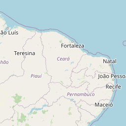
 Origen: São Vicente Ferrer
La ciudad de São Vicente Ferrer se encuentra en la provincia de Maranhão. Geográficamente se localiza en latitud: -2.8939 y longitud: -44.88.
Ciudades cercanas a São Vicente Ferrer:
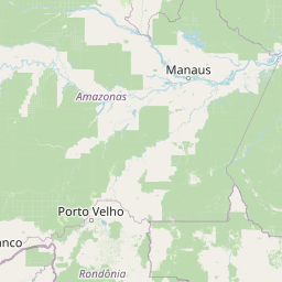
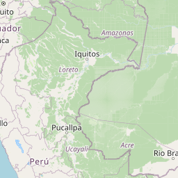
 Destino: Humaitá
La ciudad de Humaitá se encuentra en la provincia de Amazonas. Geográficamente se localiza en latitud: -7.5061 y longitud: -63.0208.